Barion Pixel
Geospatial

Tech Chat | How to Add Attributes to Measured Features During Surveys

As GISers and surveyors are familiar with, the geo-features come with a couple of attributes. Some are automatically generated based on the measured coordinates, such as the length of the line and the area of the surface. Others require manual addition based on the specific characteristics of the features, such as the area type, the model of a pipeline or some socio-cultural information. These properties can be used for subsequent data analysis and thematic map creation.
Read more
Geospatial

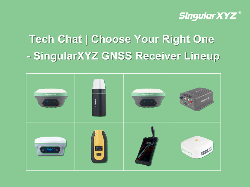
Tech Chat | Choose Your Right One ‑ Exploring SingularXYZ GNSS Receiver Lineup

Last year, we published a blog - "Tech Chat | Which RTK Rover is Right for you? – Differences between SingularXYZ Rovers" , aimed at assisting our users in choosing the ideal receiver by comparing key features and application areas of different models. Since then, we've introduced several new products in the past year. In this latest blog, let's delve deeper into a comprehensive comparison of all our GNSS receivers, exploring their unique features, functionalities, work modes, and application domains. Our goal remains the same: to help you make an informed decision and select the receiver that aligns best with your specific requirements.
Read more

Geospatial

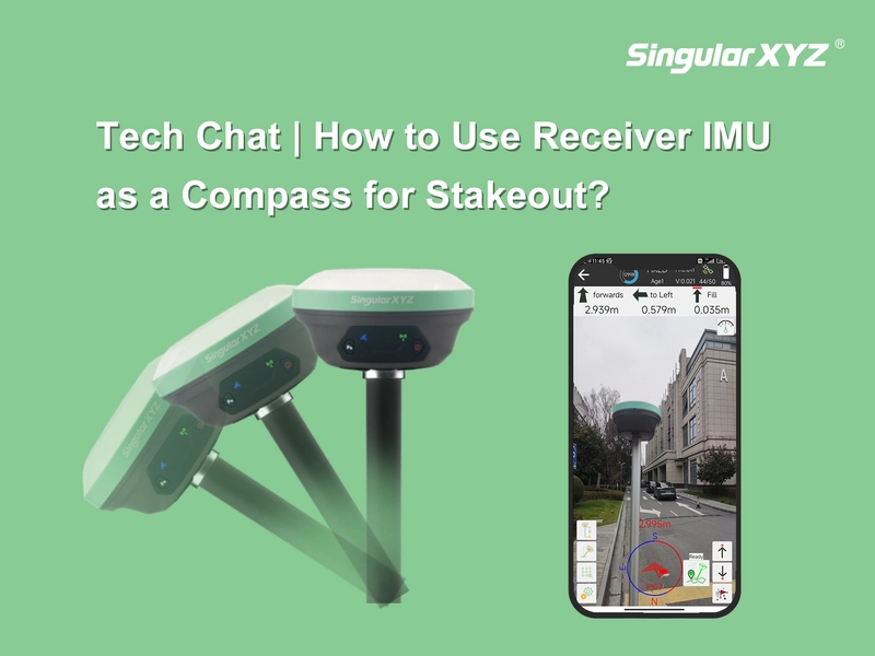
Tech Chat | How to Use Receiver IMU as a Compass for Stakeout?

Have you ever encountered challenges when staking out due to a failing controller compass? In such situations, finding the desired point becomes frustratingly difficult despite multiple calibration attempts. However, with SingularXYZ's latest SingularPad software and X1 receiver, this problem is now effectively resolved. This blog will guide you through utilizing the receiver's IMU as a compass for stakeout, ensuring accurate navigation even when traditional compasses fail.
Read more
Geospatial

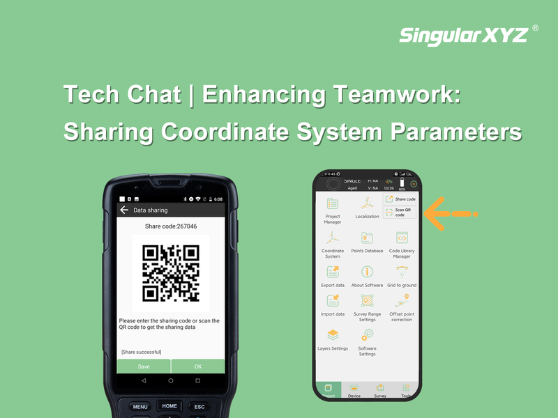
Tech Chat | Enhancing Teamwork: Sharing Coordinate System Parameters in SingularPad Software

Effective communication is crucial for successful project execution, especially when multiple surveyors are engaged in a collaborative project. One key aspect is the seamless sharing of coordinate system parameters. Only when all measurements align within a unified framework can the data obtained by individual surveyors seamlessly converge. In this blog post, we'll explore how to effortlessly share these parameters with your fellow surveyors using the SingularPad software.
Read more
Geospatial

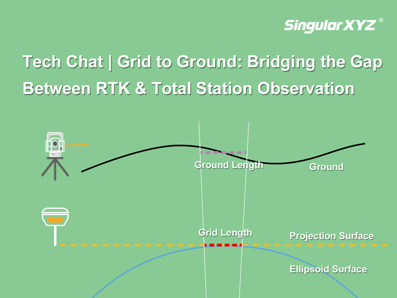
Tech Chat | Grid to Ground: Bridging the Gap Between RTK & Total Station Observation

In precision measurement projects, the seamless integration of total stations and GNSS equipment is essential. Surveyors often find themselves balancing the use of total stations for accuracy in heavily obscured satellite signal areas and GNSS equipment for swift and precise measurements in open spaces. However, the combination between these two systems can introduce errors in the form of inconsistent grid coordinates from GNSS and ground coordinates from the total station.
Read more