Barion Pixel
Geospatial

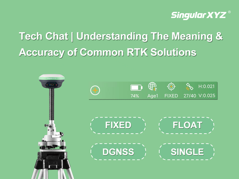
Tech Chat | Understanding The Meaning & Accuracy of Common RTK Solutions

In daily GNSS RTK surveying, the RTK solution is an important indicator for positioning reliability and accuracy. Before beginning a survey, it's standard practice to confirm that the RTK solution has achieved Fixed status for centimeter-level accuracy. In this blog, we will introduce the meaning of each RTK solution and its typical accuracy, and how do they affect your results?
Read more

Geospatial

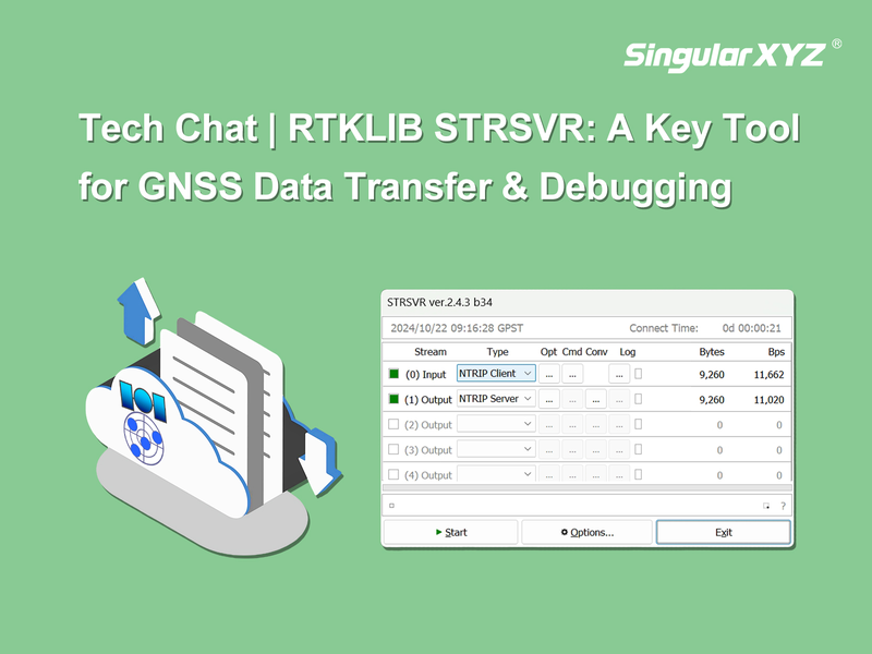
Tech Chat | STRSVR: A Key Tool for GNSS Data Transfer and Debugging

In the field of GNSS applications, a reliable tool for data transfer and debugging is sometimes very helpful. RTKLIB STRSVR serves as an easy-to-use network transfer auxiliary tool that supports various protocols. Whether you are setting up a new server, troubleshooting data flows, or testing device outputs, STRSVR can streamline your processes. This blog will explore the functionalities of STRSVR and provide a step-by-step guide to help you get started.
Read more
Geospatial

Tech Chat | How to Activate SingularPad Software and Common Registration FAQs

With its rich features, intuitive interface, and powerful performance, SingularPad field surveying software has gained widespread popularity among users. After enjoying a one-month free trial, users are required to activate the software using a license. In this blog, we'll walk you through the SingularPad registration process and address some common FAQs that may arise during activation.
Read more
Geospatial

FAQ | Troubleshooting Common Issues with SingularCaster Software

When managing a CORS network with SingularCaster, users may occasionally encounter login failures that disrupt their workflow. Understanding how to troubleshoot these issues is essential for maintaining a seamless operation. This blog will focus on common login problems associated with SingularCaster and provide detailed steps to help you resolve them efficiently.
Read more
Geospatial

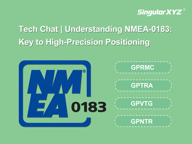
Tech Chat | Understanding NMEA Messages: Key to High‑Precision Positioning

In the world of high-precision surveying, NMEA messages are essential for reliable communication between GNSS receivers and other devices. These standardized messages provide critical data such as location, speed, heading, and more, enabling surveyors to make informed decisions in real-time. Understanding these messages is crucial for optimizing the performance of your GNSS systems, whether you're in construction, agriculture, or any other field that relies on precise positioning. In this blog, we'll break down key NMEA messages, their meanings, and their practical applications across various scenarios.
Read more
Geospatial

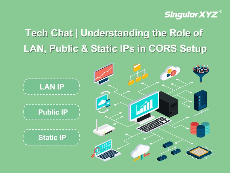
Tech Chat | Understanding LAN, Public, and Static IPs in CORS Setup

For high-precision CORS networks, IP addresses are critical for communication between devices and network. From configuring your SV100 CORS receiver on-site with a LAN IP to using a Public IP for remote access, knowing the differences between LAN, Public, and Static IPs is helpful. This blog explains how each type of IP plays a role in managing and maintaining a stable CORS system.
Read more