Barion Pixel
Geospatial

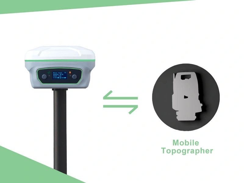
Tech Chat | How to make your RTK work with Mobile Topographer?

Different users have their own work habits and preferred software. In order to facilitate our vast user groups, our RTK products are compatible with common field surveying software and GIS software on the market. Today we will take Mobile Topographer as an example to see how we can make our Y1 GNSS receiver work with it.
Read more
Geospatial

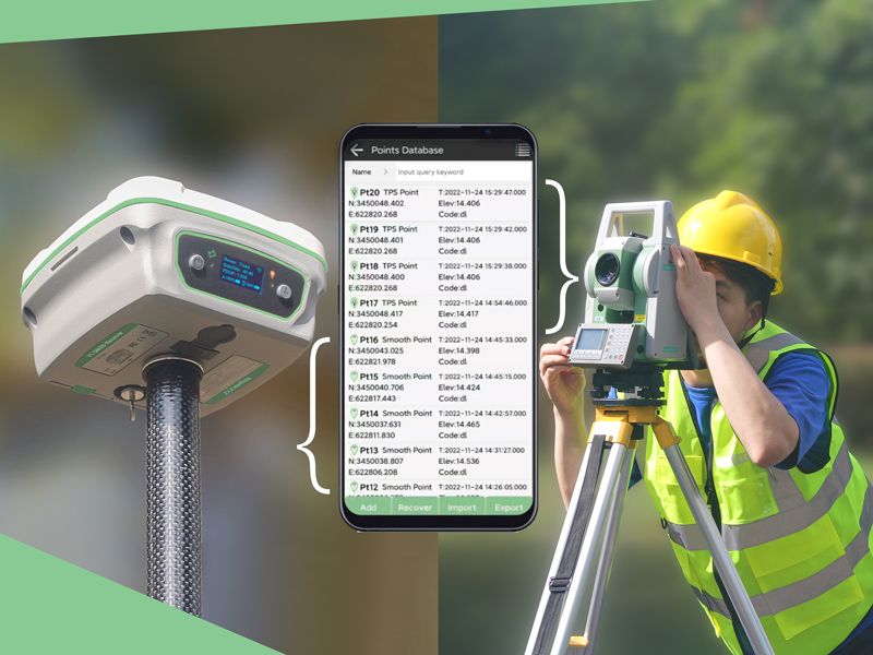
Tech Chat | How to combine total station & RTK receiver surveying?

To obtain higher efficiency, nowadays more and more large-scale projects combine total station and GNSS receivers to complete complex survey tasks. But in this case, the most troublesome thing is the subsequent processing of point data in different coordinate systems. If data problems are found after processing, users may even need to do some re-measurement.
Read more
Geospatial

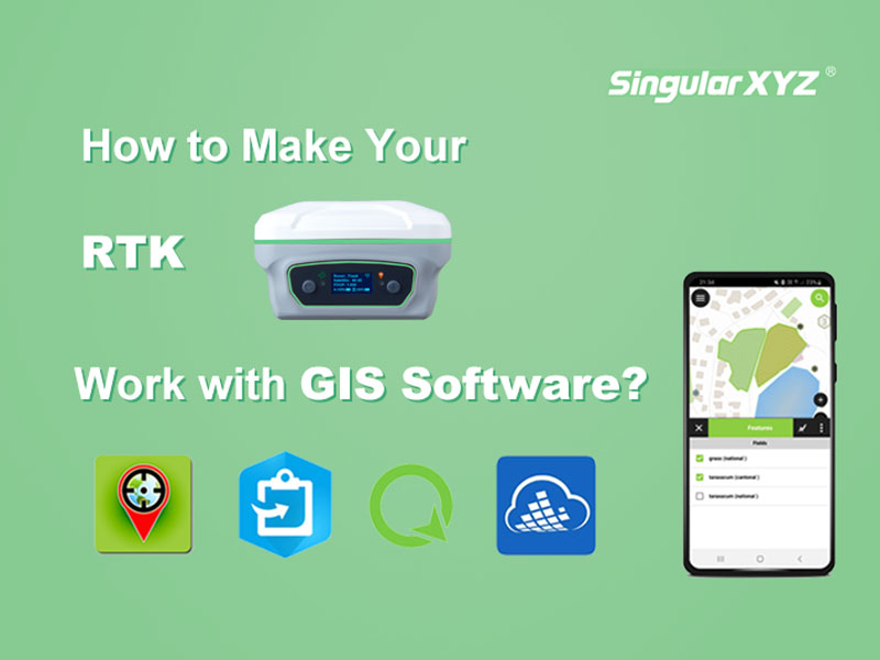
Tech Chat | How to make your RTK work with GIS software?

Although both belong to the geospatial industry, GIS and surveying have different tendencies in the selection of equipment for point surveying work. GISers are more concerned about the compatibility with GIS software and the portability of equipment, while surveyors pay more attention to the accuracy and measurement-related performance.
Read more
Geospatial

FAQ | Y1 GNSS Receiver – Part 3 GSM/4G Mode

As one of our hot products, the Y1 GNSS receiver has a very wide user base, and they also encountered various technical questions in the process of using Y1. We have summarized the questions frequently asked by our users and provided some solutions, hoping to solve some of your confusion.
Read more