Barion Pixel
Geospatial

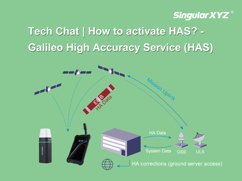
Tech Chat | How to Use Galileo HAS?

In the last chapter, we introduced you to the transformative potential of Galileo's High Accuracy Service (HAS). Now, let's delve deeper into how our products seamlessly integrate with HAS, unlocking a new realm of accuracy and efficiency for our users.
Read more
Geospatial

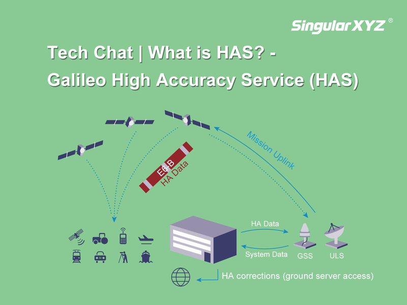
Tech Chat | What is Galileo High Accuracy Service (HAS)?

As a cornerstone in Global Navigation Satellite Systems, Galileo has been a familiar presence in our daily lives. Since commencing testing and experimentation of the innovative High Accuracy Service (HAS) in 2019, Galileo has embarked on a transformative journey. In the present year of 2024, HAS is progressively extending its global coverage and services. Join us in this blog as we delve into the essence of HAS, exploring its potential to enhance both our work and daily experiences.
Read more
Geospatial

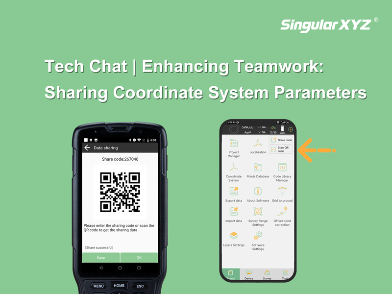
Tech Chat | Enhancing Teamwork: Sharing Coordinate System Parameters in SingularPad Software

Effective communication is crucial for successful project execution, especially when multiple surveyors are engaged in a collaborative project. One key aspect is the seamless sharing of coordinate system parameters. Only when all measurements align within a unified framework can the data obtained by individual surveyors seamlessly converge. In this blog post, we'll explore how to effortlessly share these parameters with your fellow surveyors using the SingularPad software.
Read more
Geospatial

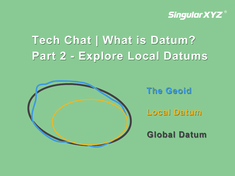
Tech Chat | What is Datum? – Part 2 Explore Local Datums

Building upon the insights shared in our previous blog, where we explored the importance of global datums and the challenges they present, particularly in terms of coordination changes over time, our attention now turns to a solution that effectively addresses these challenges—the local datum.
Read more
Geospatial

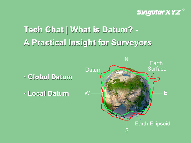
Tech Chat | What is Datums? ‑ A Practical Insight for Surveyors

Understanding the essence of geodetic datums is not just a theoretical exercise but a critical aspect of a surveyor's daily routine. When we talk about a datum, we're essentially referring to the reference point or "zero" point against which all measurements are made. In geodetics, where precision is paramount, this point is crucial for accurate comparisons and measurements.
Read more
Geospatial

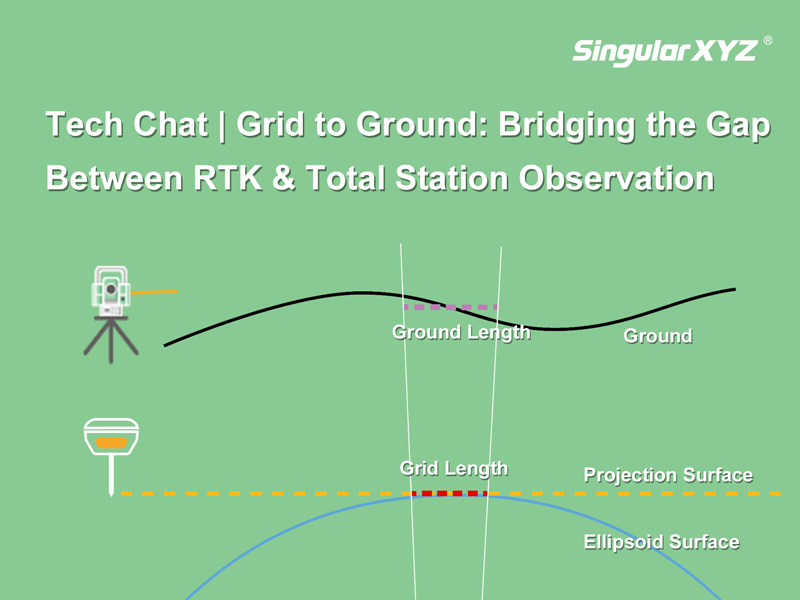
Tech Chat | Grid to Ground: Bridging the Gap Between RTK & Total Station Observation

In precision measurement projects, the seamless integration of total stations and GNSS equipment is essential. Surveyors often find themselves balancing the use of total stations for accuracy in heavily obscured satellite signal areas and GNSS equipment for swift and precise measurements in open spaces. However, the combination between these two systems can introduce errors in the form of inconsistent grid coordinates from GNSS and ground coordinates from the total station.
Read more