Barion Pixel
Geospatial

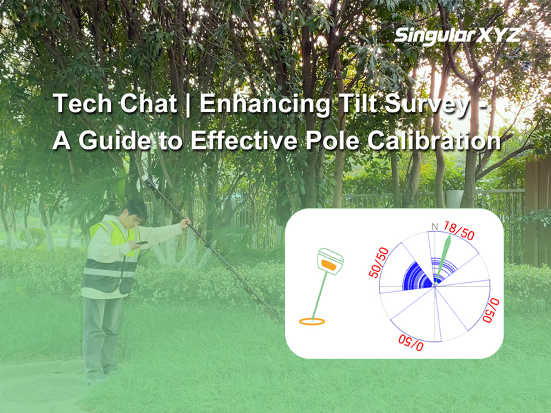
Tech Chat | Enhancing Tilt Survey Accuracy: A Guide to Effective Pole Calibration

As the popularity of IMU tilt functions rises in the realm of RTK surveying, the undeniable convenience they offer becomes increasingly apparent. However, real-world applications often encounter challenges that can impact the accuracy and stability of IMU tilt surveys, such as complex environments, improper usage, or poor satellite tracking during IMU initialization. In this blog, we address these challenges and introduce a practical solution – Pole Calibration – to enhance the reliability and stability of tilt survey measurements.
Read more
Geospatial

Tech Chat | Efficient Communication for Resolving Technical Issues ‑ Chapter 1 Geospatial Questions

When using high-precision GNSS products and solutions, encountering various technical questions is inevitable. These issues may arise from various factors, such as setting errors, equipment malfunctions, or environmental conditions. Timely and detailed feedback is crucial for expeditious problem resolution and saving your time for communication. This blog outlines essential information to provide when reporting technical problems and offers specific instructions on effective communication with SingularXYZ technicians.
Read more
Geospatial

Tech Chat | Mastering RTK Radio Mode Setup for Seamless Surveys

In our day-to-day RTK surveying, we usually use GSM or radio to transmit correction data from base to rover. Compared with the configuration of GSM mode, the parameters of radio mode may be more difficult to understand, such as serial port baud rate, air baud rate, radio channel, and frequency. In this blog, let’s unravel the intricacies of these concepts to empower you in achieving a seamless RTK radio mode setup.
Read more
Geospatial

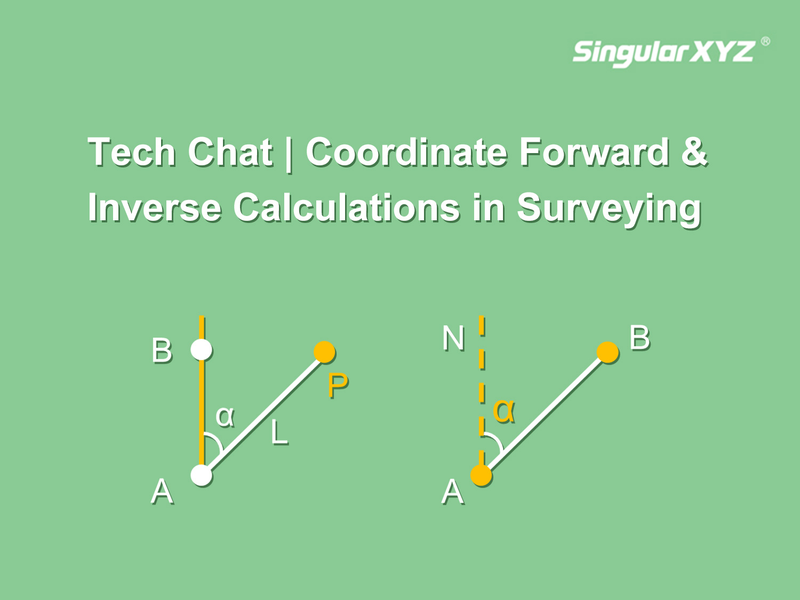
Tech Chat | Coordinate Forward & Inverse Calculations in Surveying and Mapping

In the field of surveying and mapping, coordinate inverse and forward calculation are very common methods, which help us determine azimuth angle, distance, point coordinates, etc. based on known information. In this blog, we will introduce these concepts and simplify their practical application with time-saving solutions of SingularPad software.
Read more
Geospatial

Tech Chat | What is #Heading Data?

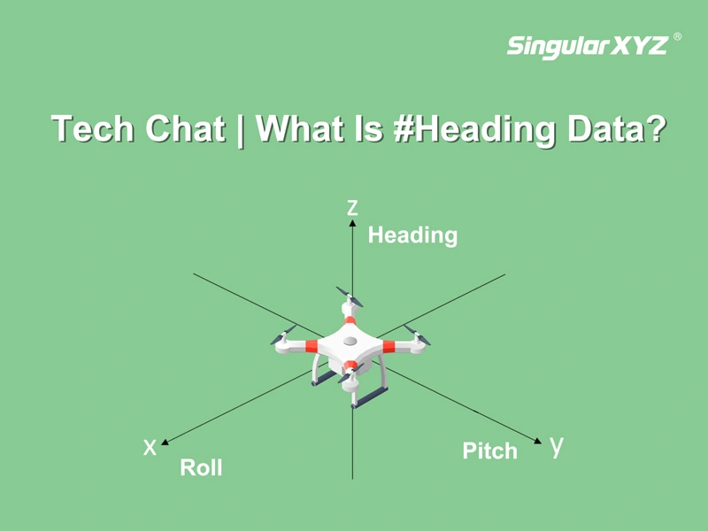
For surveying or GIS, positioning data can meet the demands. But for some navigation applications such as auto-steering systems for agricultural operations or guiding UAVs, it is crucial to get the orientation information. We primarily describe this orientation using three parameters: pitch, heading, and roll. Roll refers to rotation around the X axis, pitch is rotation around the Y axis, and heading denotes rotation around the Z axis (as illustrated in the accompanying image).
Read more