Geospatial
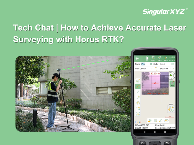
Tech Chat | How to Achieve Accurate Laser Surveying with Horus RTK?
Laser surveying is one of the most powerful features of the Horus RTK Receiver. By combining a laser module, visual camera, and IMU technology, Horus allows surveyors to measure points remotely without physically occupying the target location.
Read more