Geospatial
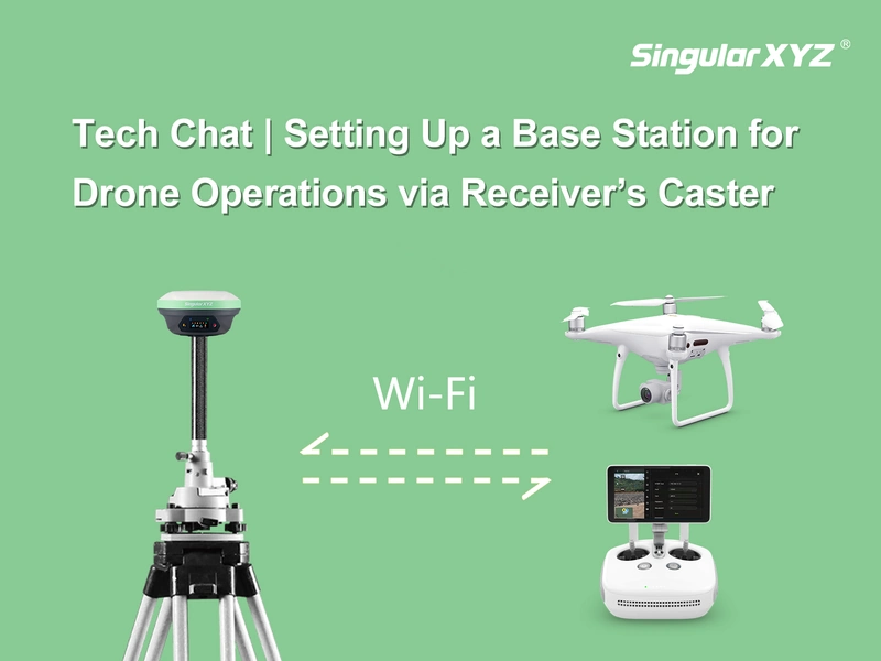
Tech Chat | Setting Up a Base Station for Drone Operations via Receiver’s Caster
In certain drone applications, like drone mapping or autonomous driving inspections, achieving centimeter-level accuracy is essential. This precision helps meet surveying requirements and prevents accidental collisions with obstacles such as poles and power grids, ensuring the safety of both drones and equipment.
Read more