Geospatial
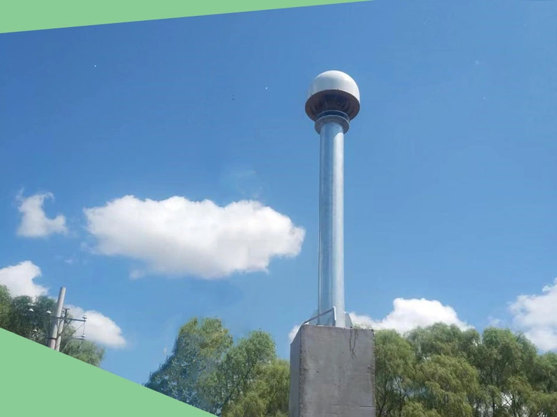
Tech Chat | How To Site A CORS Station?
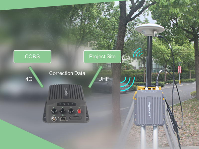
As introduced in the previous blog, CORS (Continuous Operational Reference System) continuously collects high-quality GNSS raw observation data through reference stations, providing mobile terminal users with high-precision positioning services at the millimeter to centimeter level. From navigation and positioning to land surveying, disaster prevention and mitigation, smart cities, autonomous driving, etc., in which the CORS system plays a huge role. In general, users only need to purchase a CORS account to easily obtain differential data for use in various scenarios.
Read more