Geospatial
Tech Chat | How does CORS work?
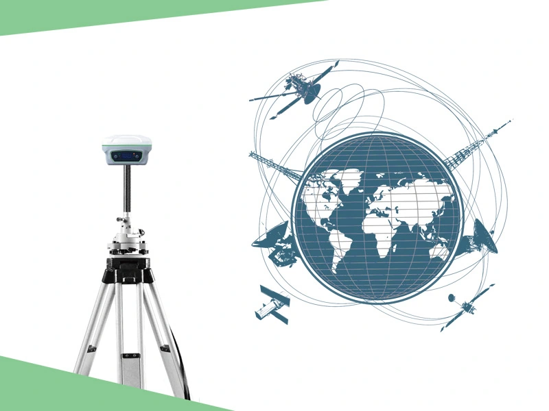
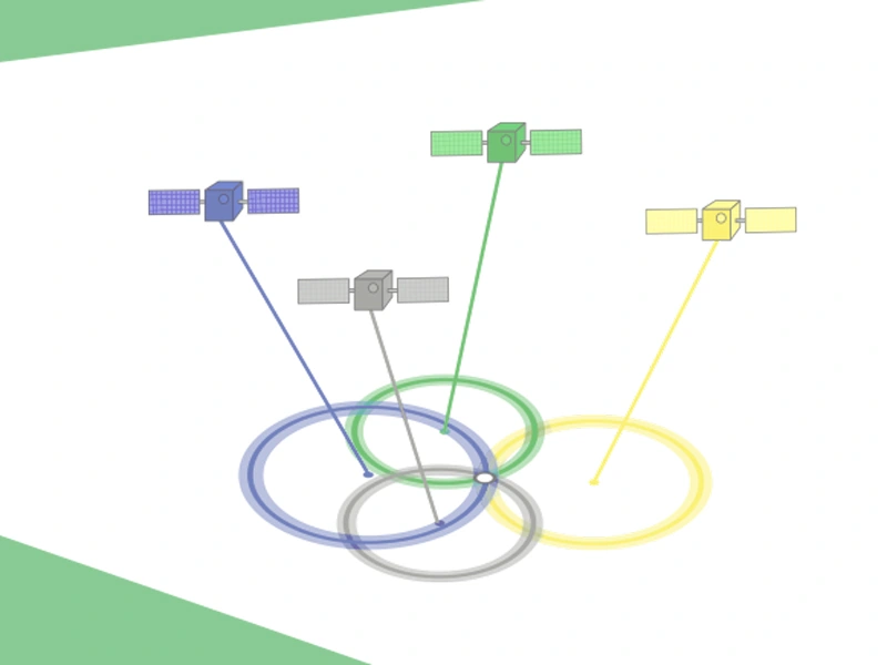
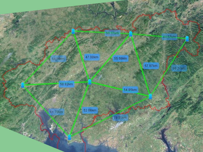
CORS system (Continuous Operational Reference System) is one of the development hotspots of modern GPS, which introduces the concept of network into the application of geodesy. The establishment of this system not only brings huge changes to the surveying and mapping industry, but also brings new ideas and modes to the spatial information service in the modern network society.
Read more