Barion Pixel
Geospatial

Tech Chat | What is #Heading Data?

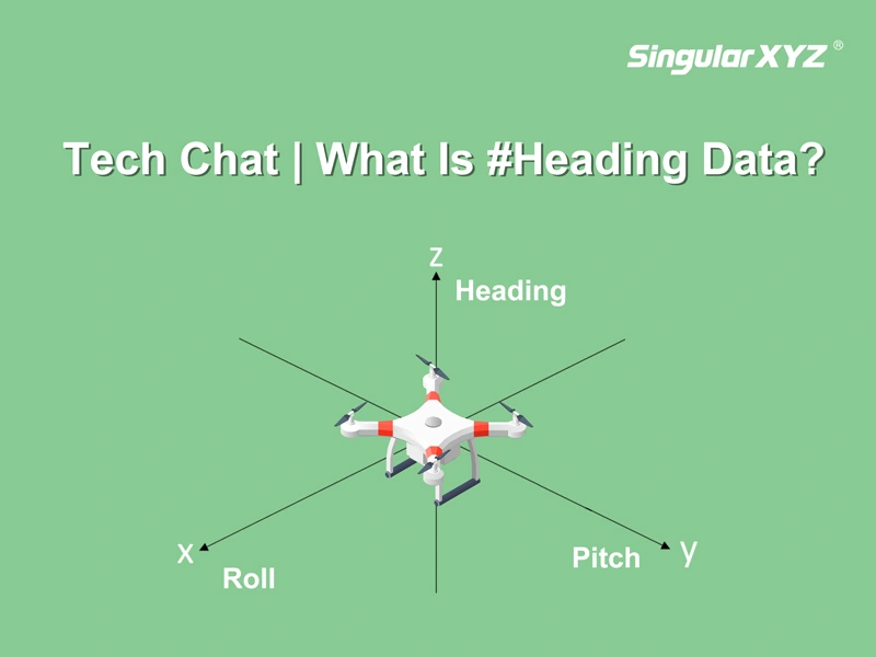
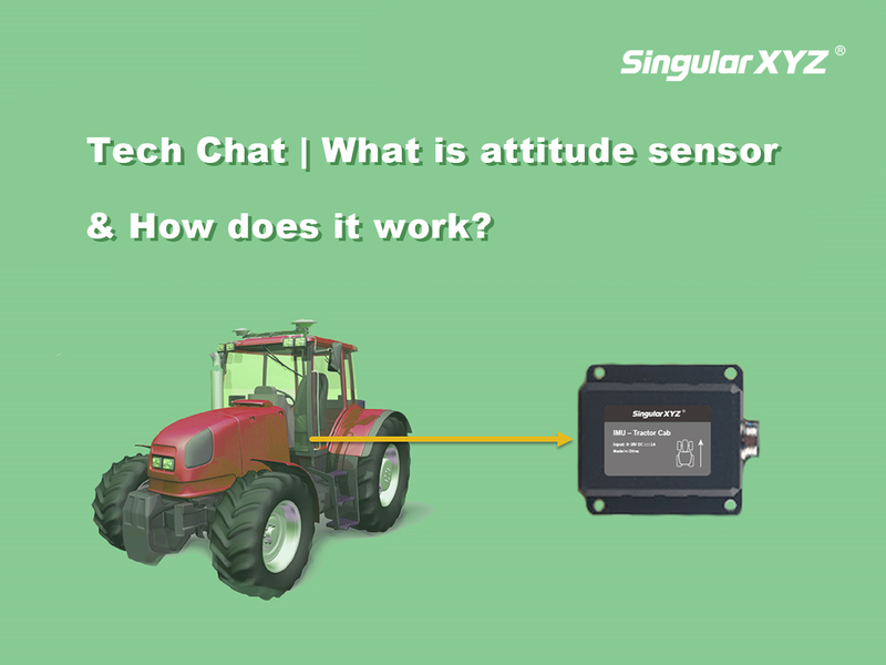
For surveying or GIS, positioning data can meet the demands. But for some navigation applications such as auto-steering systems for agricultural operations or guiding UAVs, it is crucial to get the orientation information. We primarily describe this orientation using three parameters: pitch, heading, and roll. Roll refers to rotation around the X axis, pitch is rotation around the Y axis, and heading denotes rotation around the Z axis (as illustrated in the accompanying image).
Read more
Geospatial

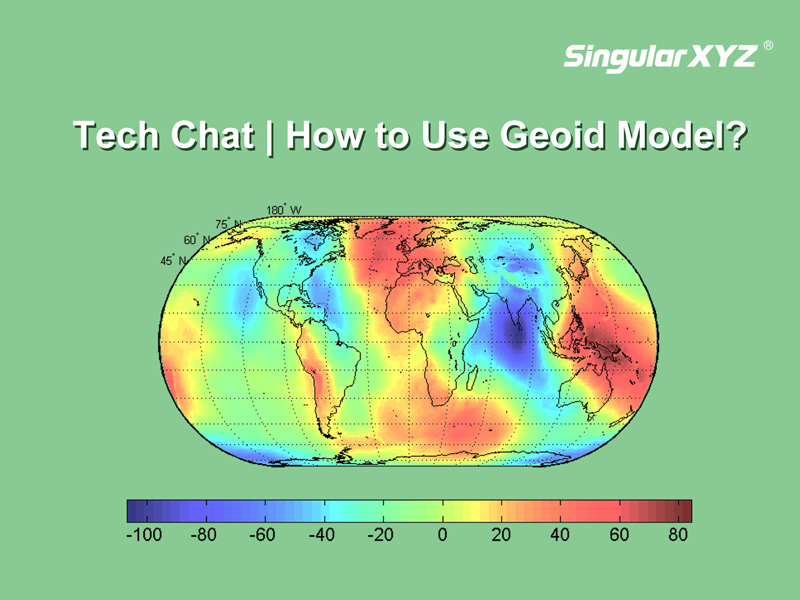
Tech Chat | What is geoid model and how to use it?

In previous blogs, we explored the distinctions between three common height measurements—geodetic height, normal height, and orthometric height. In our daily RTK surveys that based on reference ellipsoids, we primarily encounter geodetic height. However, sometimes we may need normal height that aligns better with the local terrain.
Read more
Geospatial

Tech Chat | How to conduct PPK survey tasks? – Part 1

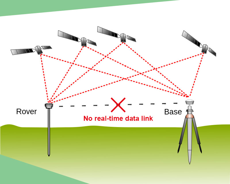
In daily GNSS surveying, RTK should be the most popular survey method, which can improve the positioning accuracy to centimeter-level based on the real-time correction data sent from the base station. Normally, the correction data was sent at a frequency of 1 Hz.
Read more