Barion Pixel
Geospatial

Tech Chat | How to Obtain GNSS Static Data With Sfaira ONE Series?

In surveying, GNSS raw data, or static data, is essential for achieving high-precision results. Typically, surveyors use GNSS receivers with built-in storage to record this static data, which they then export to a PC for post-processing. Recently, Sfaira ONE Series users have also expressed interest in obtaining static data, although this model lacks internal storage. In this blog, we'll walk you through how to obtain static data from the Sfaira ONE Series via a Type-C USB cable for easy transfer.
Read more
Geospatial

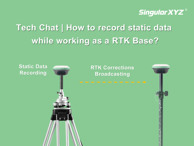
Tech Chat | How to record static data when the receiver is working as RTK Base?

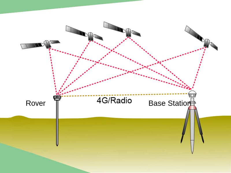
Due to certain project specifications and accuracy verification requirements, sometimes our users will need to have the receiver record static data simultaneously while it is working as RTK base. To meet these demands, our equipment offers two convenient ways by using the SingularPad software or accessing the product's web page. In this blog post, we'll explore each method in detail, ensuring clarity and ease of understanding.
Read more
Geospatial

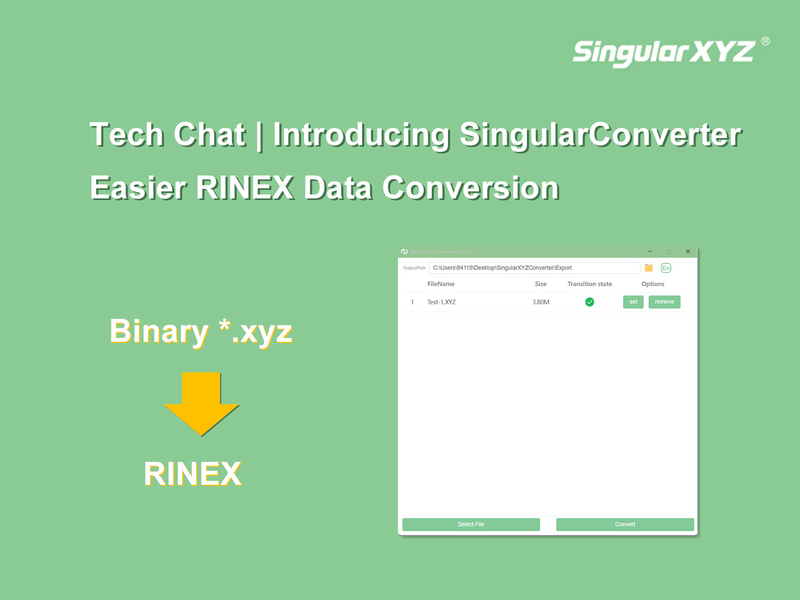
Tech Chat | Introducing SingularConverter: Easier RINEX Data Conversion

In the realm of GNSS applications, beyond Real-Time Kinematic (RTK) surveying, static surveys play a crucial role. Often, the raw static data recorded by GNSS receivers is stored in a binary format to optimize storage space. However, for post-processing, the industry-standard RINEX format proves to be more readable and is widely employed in various static post-processing software. Today, let's delve into a useful tool, SingularConverter, designed specifically to convert binary data in the *.xyz format to RINEX data.
Read more
Geospatial

Tech Chat | Which is better among Static Survey, RTK or PPK?

With the rapid development of the high precision GNSS industry, the GNSS surveys are becoming more and more popular worldwide. When selecting the GNSS products, we can see the static accuracy, RTK accuracy and PPK accuracy in the specifications. Of these common GNSS measurement methods, is the higher accuracy the better? What's the difference between these methods, and in which applications should we choose which corresponding method?
Read more