Barion Pixel
Geospatial

Tech Chat | How to Perform Auto Point Survey Using SingularPad

Point measurement is the most fundamental function in GNSS surveying. In standard point survey mode, each point must be measured manually by tapping the survey button. While this works well for individual points, it can become time-consuming and inefficient during repetitive or continuous measurement tasks.
Read more
Geospatial

Tech Chat | How to Stakeout Points Using Azimuth & Distance

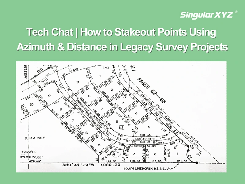
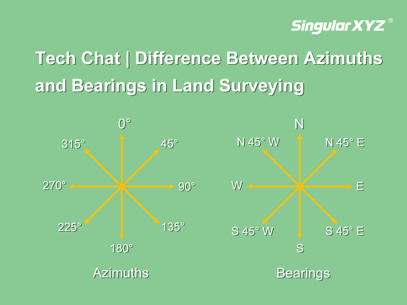
In modern GNSS surveying, stakeout tasks typically rely on maps with known coordinates. However, in some countries like the United States, Canada, or parts of Europe — especially when working with legacy survey maps, forestry records, or cadastral plans — point positions are are described not by coordinates, but by their azimuth and distance relationships.
Read more
Geospatial

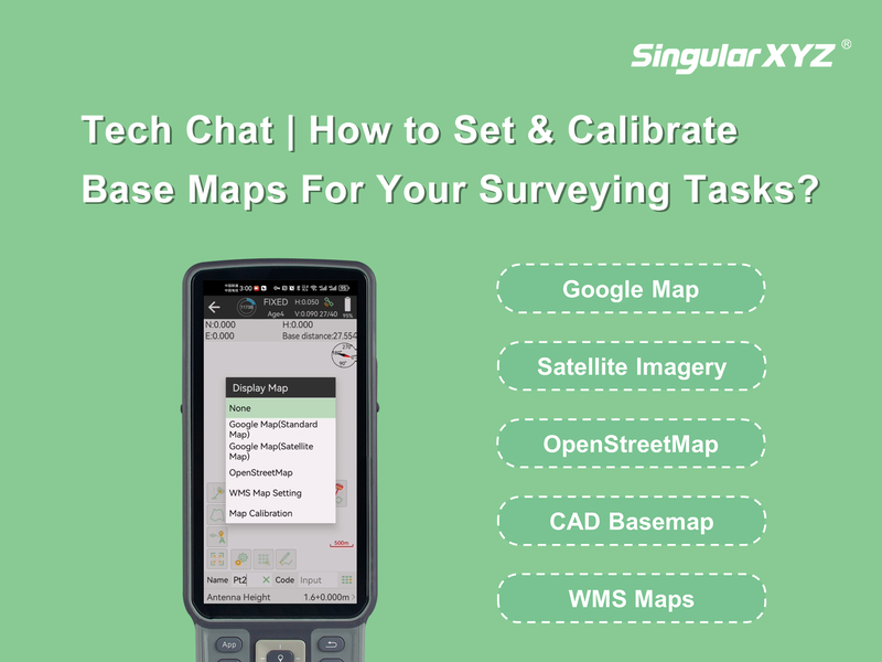
Tech Chat | How to Set & Calibrate Base Maps for Your Surveying Tasks?

In various surveying tasks and project scenarios, there are different requirements about the base maps. Tailored to meet such specific needs, SingularPad offers support for a range of base map types, such as Google map, satellite map, OpenStreetMap, CAD basemaps, etc. In today's blog, we will explore how to set up and calibrate these base maps for optimal use.
Read more
Geospatial

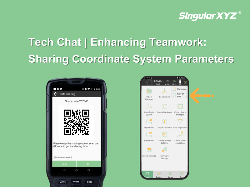
Tech Chat | Enhancing Teamwork: Sharing Coordinate System Parameters in SingularPad Software

Effective communication is crucial for successful project execution, especially when multiple surveyors are engaged in a collaborative project. One key aspect is the seamless sharing of coordinate system parameters. Only when all measurements align within a unified framework can the data obtained by individual surveyors seamlessly converge. In this blog post, we'll explore how to effortlessly share these parameters with your fellow surveyors using the SingularPad software.
Read more
Geospatial

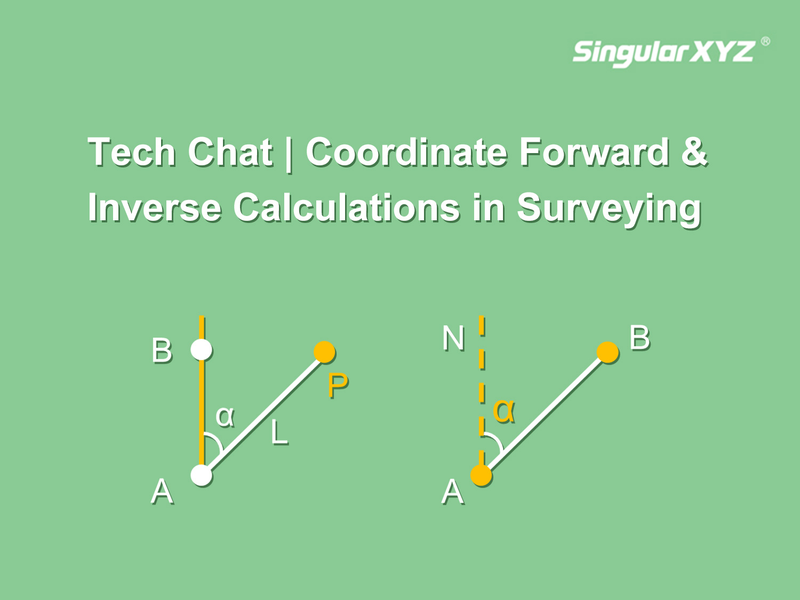
Tech Chat | Coordinate Forward & Inverse Calculations in Surveying and Mapping

In the field of surveying and mapping, coordinate inverse and forward calculation are very common methods, which help us determine azimuth angle, distance, point coordinates, etc. based on known information. In this blog, we will introduce these concepts and simplify their practical application with time-saving solutions of SingularPad software.
Read more