Geospatial
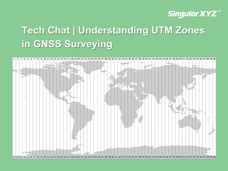
Tech Chat | Understanding UTM Zones in GNSS Surveying
When working with GNSS receivers in real-world surveying, coordinate systems are often the first source of confusion—especially when switching between latitude/longitude and projected systems. To make GNSS coordinates practical for engineering calculations, we often use a map projection to convert the curved surface of the Earth into a flat, grid-based system.
Read more