Barion Pixel
Geospatial

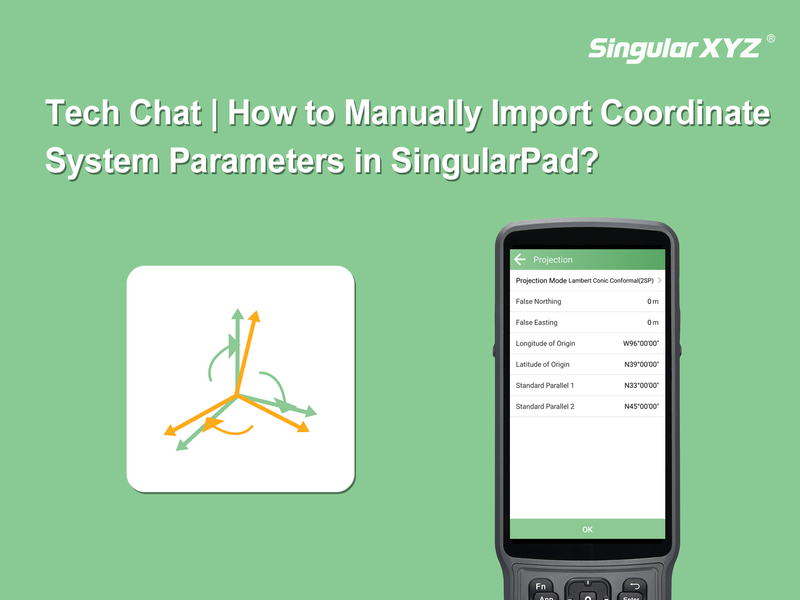
Tech Chat | How to Manually Import Coordinate System Parameters in SingularPad?

In a previous blog post, we introduced how to query coordinate systems and their parameters (Tech Chat | Querying Coordinate Reference Systems for GNSS and Surveying Projects). In practical work, if the required coordinate system is not pre-defined in the template list of SingularPad, it can also be manually defined to ensure correct measurement results.
Read more
Geospatial

Tech Chat | Querying Coordinate Reference Systems for GNSS and Surveying Projects

When creating a new surveying project, setting the correct coordinate system is a critical step. SingularPad comes with a wide range of pre-defined coordinate systems, covering many commonly used national and regional standards. In most cases, users can simply select the appropriate coordinate system from the built-in list (refer to our previous tutorial 6 Steps to Master RTK Surveying | Step 2 - New Project).
Read more
Geospatial

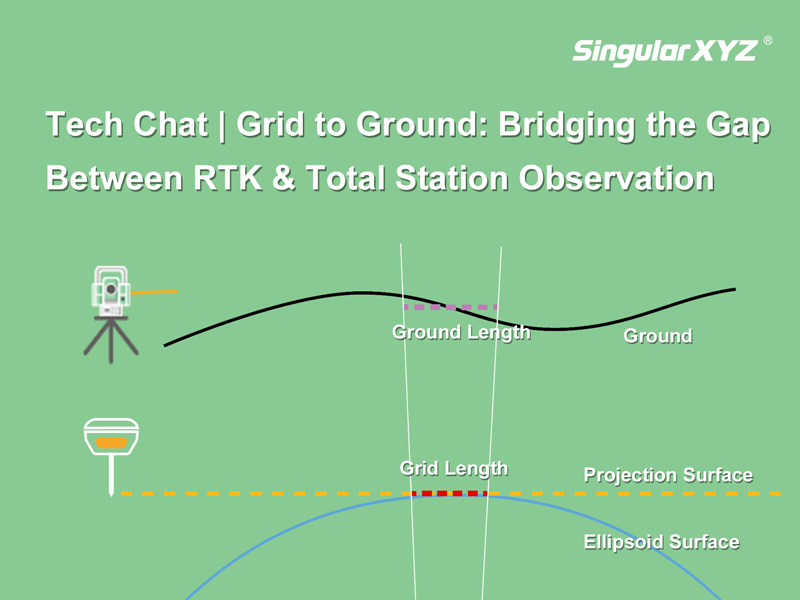
Tech Chat | Grid to Ground: Bridging the Gap Between RTK & Total Station Observation

In precision measurement projects, the seamless integration of total stations and GNSS equipment is essential. Surveyors often find themselves balancing the use of total stations for accuracy in heavily obscured satellite signal areas and GNSS equipment for swift and precise measurements in open spaces. However, the combination between these two systems can introduce errors in the form of inconsistent grid coordinates from GNSS and ground coordinates from the total station.
Read more
Geospatial

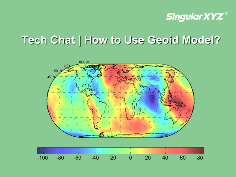
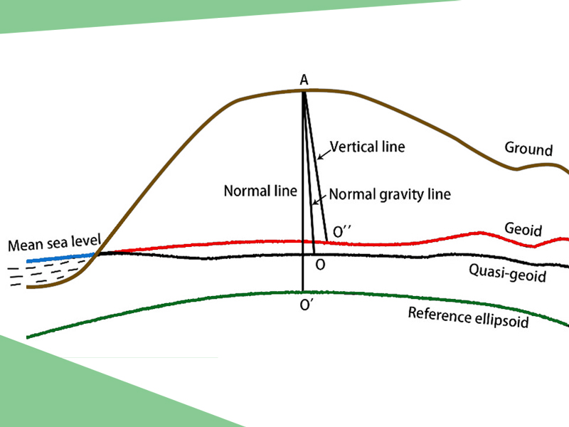
Tech Chat | What is geoid model and how to use it?

In previous blogs, we explored the distinctions between three common height measurements—geodetic height, normal height, and orthometric height. In our daily RTK surveys that based on reference ellipsoids, we primarily encounter geodetic height. However, sometimes we may need normal height that aligns better with the local terrain.
Read more
Geospatial

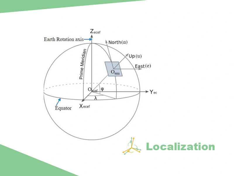
Tech Chat ‑ What is Localization in Surveying Project?

The first step of starting a surveying project is to set the coordinate systems. Normally, the surveying software will include global or country-wide systems for you to select. However, some local projects will use the local small-scale coordinate system. At this time, the general coordinate system in the software is no longer applicable, and the surveyor can transform the coordinate system through the localization function.
Read more