Barion Pixel
Geospatial

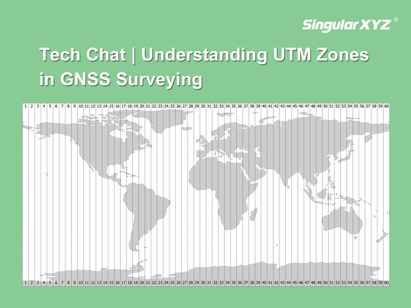
Tech Chat | Understanding UTM Zones in GNSS Surveying

When working with GNSS receivers in real-world surveying, coordinate systems are often the first source of confusion—especially when switching between latitude/longitude and projected systems. To make GNSS coordinates practical for engineering calculations, we often use a map projection to convert the curved surface of the Earth into a flat, grid-based system.
Read more
Geospatial

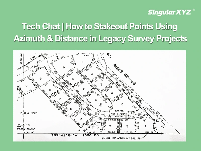
Tech Chat | How to Stakeout Points Using Azimuth & Distance

In modern GNSS surveying, stakeout tasks typically rely on maps with known coordinates. However, in some countries like the United States, Canada, or parts of Europe — especially when working with legacy survey maps, forestry records, or cadastral plans — point positions are are described not by coordinates, but by their azimuth and distance relationships.
Read more
Geospatial

Tech Chat | Analysis of GNSS Frequency Bands and Multi‑Frequency Technology

Global Navigation Satellite Systems (GNSS) are pivotal in providing accurate positioning and navigation services worldwide. Each GNSS system operates on a specific set of radio frequencies that enable the transmission of navigation signals. These frequencies are essential for ensuring that systems remain independent, prevent interference, and provide robust signals in various environments. In this article, we will explore the core concept of multi-frequency GNSS, examine the frequency bands of major GNSS systems, and discuss how multi-frequency technology enhances GNSS performance.
Read more