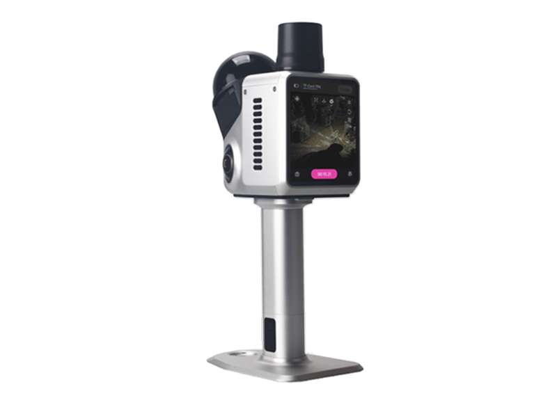
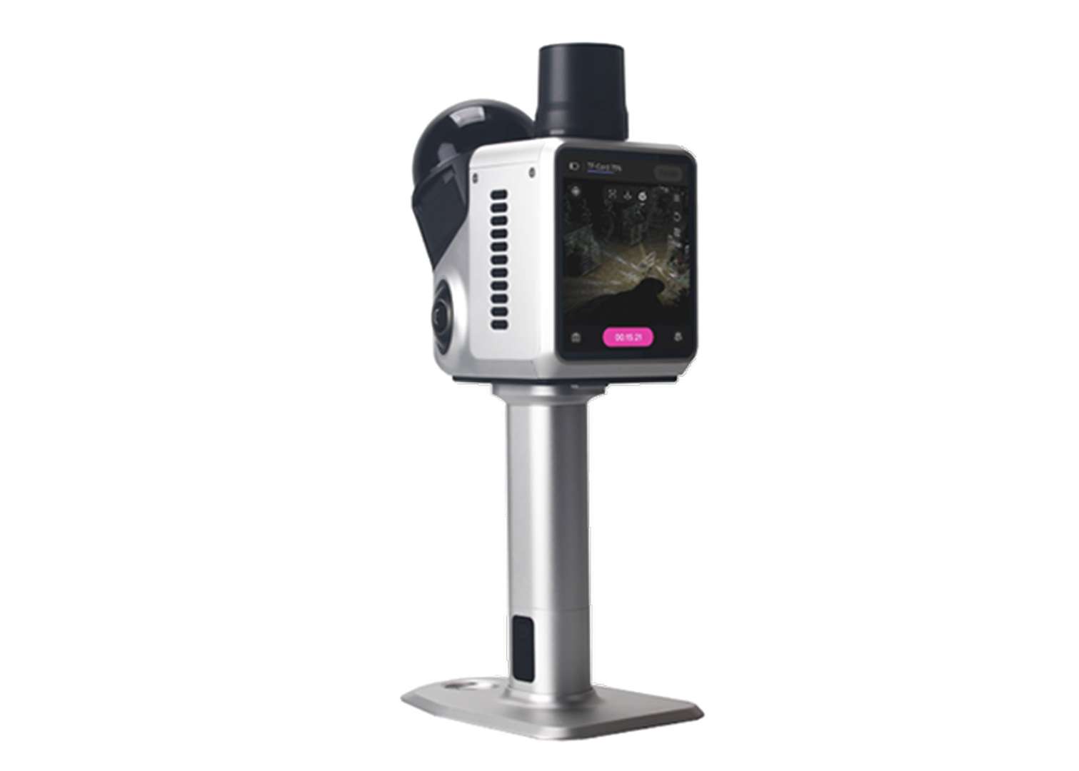
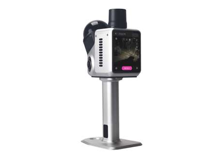
H1 Handheld 3D Laser Scanner
Capture Reality, Define Precision More| Product number | H1_Scanner |
| Quantity unit | pc |

Key Features

Dense & Precise Point Cloud
Equipped with a high-performance LiDAR system, the H1 supports 480,000 points per second scanning rate and 15mm accuracy at 10m range and 3cm accuracy at 20m range, delivering superior precision and efficiency.

Built-in 3.9” Screen & Software
With the integrated 3.9” AMOLED touchscreen and onboard real-time point cloud viewer, users can monitor scanning progress, validate data quality, and adjust parameters in the field — no additional controller required.

Integrated GNSS RTK & SLAM
Beyond its high-precision LiDAR capabilities, the H1 integrates full-constellation RTK technology to deliver centimeter-level absolute positioning, ensuring your scan data aligns accurately with real-world coordinate systems.
Additional Benefits

Ultra-Wide 360° × 63.5° FOV
Featuring a full 360° horizontal range and 63.5° vertical coverage, the H1 captures every angle with minimal blind spots, making it perfect for detailed scanning of interiors, facades, and industrial sites.

Powerful Imaging System · Triple Camera
Integrated with powerful imaging system, H1 captures vivid and realistic textures with dual 13MP 1-inch fisheye cameras, while rely on NIR tracking to maintain precise positioning and fluid motion in challenging lighting or geometric conditions.

Reliable Power for Any Scenario
H1 comes with two 12,000 mAh battery grips, each providing up to one hour of continuous operation to keep your field work uninterrupted. In addition to handheld grips, it also supports external power for drones, vehicles, or other setups, adapting seamlessly to diverse applications.

Smart Interfaces with Efficient Cooling
H1 offers dedicated Type-C ports for data and external power, an SD card slot for easy storage expansion, and optimized air inlet and outlet for effective heat dissipation, while built-in Wi-Fi ensures seamless connectivity.

Field-Ready in a Compact Build
Built with an IP65-rated metal body, H1 stands up to demanding environments, and its 900g compact form keeps field use light and convenient.
Software & Platform

Onboard Real-time Point Cloud Viewer
The built-in viewer provides convenient field control with three display modes—point cloud, photos, or split-screen—allowing users to monitor data as it’s collected and instantly review past projects.

Point Cloud Post-Processing Software
The software lets users refine and edit point cloud data with ease, supporting output in PLY, PNG+OBJ, and Gaussian-Splatting PLY formats for versatile applications.
Industries & Applications

Construction Mapping

Infrastructure Capture

Heritage Digitization
Specifications
| Laser Product Classification | Class 1 Eye Safe |
|---|---|
| Accuracy | 1.5cm@10m; 3cm@20m; 5cm@40m |
| Scan Radius | 40-70m (measured at >10% or >80% reflectivity) |
| Max. Effective Measurement Rate | 480,000 points/sec |
| Wavelength | 905nm |
| FOV | 360°(H) × 63.5°(V) |
| Camera System | - Fisheye camera *2 - NIR tracking camera *1 |
|---|---|
| Resolution | 13 MP (fisheye camera) |
| Sensor Size | 1-inch CMOS (fisheye camera) |
| HDR Mode | Supports 3–5 EV |
| FOV | 360° × 300° |
| Point Cloud (color) | PCD, LAS, E57, PLY |
|---|---|
| Mesh (color) | OBJ |
| 3D Gaussian Splatting | PLY |
| Channels | 1408 |
|---|---|
| GNSS | GPS/BDS/GLONASS/Galileo/QZSS/NavIC |
| RTK Accuracy | 8mm+1ppm Horizontally 15mm+1ppm Vertically |
Downloads
date:
size: 4.07 MB
Customer Reviews
No review has been published yet...