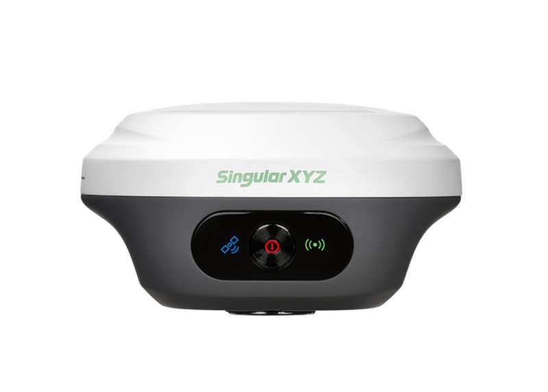
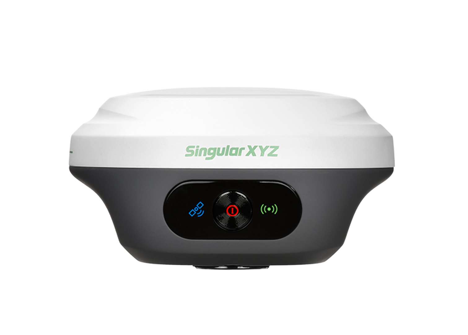
Orion ONE Laser GNSS Receiver
Non-Contact Laser, More Surveying Possibilities More| Product number | Orion_ONE-Laser |
| Quantity unit | pc |

Key Features

Mini in Hand, Mighty in Survey
Orion ONE-Laser is crafted with a compact Φ107 mm × 58.7 mm palm-sized design, reducing the burden on surveyors while delivering powerful performance and versatile functionality.

Non-Contact Laser Survey
Equipped with a laser module, Orion ONE-Laser provides centimeter-level accurate non-contact laser survey within 10m range, enhancing the surveyor's capabilities in complex terrains.

Full-Constellation Tracking
Orion ONE-Laser supports full-constellation signal tracking with advanced anti-interference algorithms, ensuring fast and reliable FIX even in complex environments such as city canyons or dense forests.
Additional Benefits
More Possible Scenarios
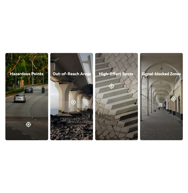
The non-contact laser survey simplifies surveying in areas where traditional methods fall short. It excels in environments with signal blockages, hard-to-reach locations, high-effort spots or hazardous conditions, providing safer, more efficient results.

60° Tilt Surveying
With a high-performance IMU, Orion ONE-Laser supports up to 60° tilt range for both pole surveying and laser surveying, greatly increasing survey efficiency and possibility.

Versatile Transmission
With integrated NFC, Bluetooth, WiFi, USB Type-C and 8GB onboard storage, Orion ONE-Laser offers versatile connectivity options, making data transfer and device management effortless.

IP67 Rugged Protection
Built to withstand harsh environments, the IP67-rated casing of Orion ONE-Laser provides protection against water, dust, and accidental drops, ensuring uninterrupted performance in the field.

Flexible Work Modes
- Static Measurement: Record static with 8GB storage, downloadable via web UI.
- Internal Radio Mode: Achieve up to 15km range with the built-in UHF radio.
- PDA CORS Mode: Connect through Bluetooth, easily access to local CORS via PDAs.
Software & Platform

SingularPad Field Surveying Software
SingularPad, an Android-based professional field software, is designed to meet diverse surveying needs. Paired with the innovative Orion ONE, it's enhanced with Wi-Fi data interaction, visual stakeout, and laser survey capabilities.
Industries & Applications

Land Surveying
Specifications
| Channels | 1408 |
|---|---|
| BDS | B1I, B2I, B3I, B1C, B2a, B2b |
| GPS | L1C/A, L1C, L2C, L2P(Y), L5 |
| GLONASS | G1, G2, G3 |
| Galileo | E1, E5a, E5b, E6 |
| QZSS | L1C/A, L1C, L2C, L5 |
| RTK Accuracy | 8mm+1ppm Horizontally 15mm+1ppm Vertically |
| WebUI | Accessible via Wi-Fi |
|---|---|
| Battery | - 4200 mAh, up to 12 Hours Working Time - Fast Charge of 3 Hours Charging Time |
| Size | Φ107 mm × 58.7 mm |
| Weight | 547 g |
| Waterproof & Dustproof | IP67 |
| Range | 60m* |
|---|---|
| Accuracy | 3cm@10m range, within 60° tilt range |
| Measuring Frequency | 2Hz |
| UHF Modem | Up to 15km with optimal conditions |
|---|---|
| Bluetooth | BT4.0 Dual Mode |
| WiFi | 802.11 a/b/g/n/ac |
| Interface | Type-C Interface for Data Transmission and Charging |
Downloads
date:
size: 843.22 KB
date:
size: 942.94 KB
Customer Reviews
No review has been published yet...